


| WEATHER STORY DesMoines Weather Forecast Office |

|
||
|
||
 |
||
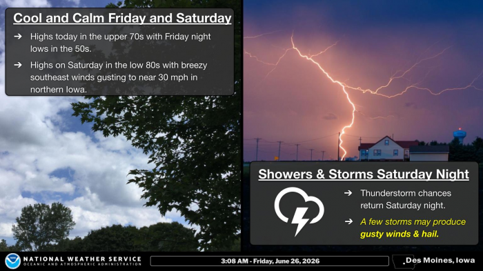
| Friday and Saturday look to be mostly pleasant. Friday's highs are forecast to be in the upper 70s with overnight lows in the 50s. Saturday will be slightly warmer with highs in the low 80s and breezy southeast winds gusting to near 30 mph across the north. Thunderstorm chances return Saturday night. A few storms may produce gusty winds and hail overnight. |
Data Courtesy of DesMoines Weather Forecast Office